Learning from Oak primary geography (2)
Written September 2026
In this second blog about what secondary geography teachers can learn from the primary geography resources of the Oak National curriculum I focus on how we teach rivers and river landscapes as a key element of physical geography. The first blog here considered fieldwork and geographical skills.
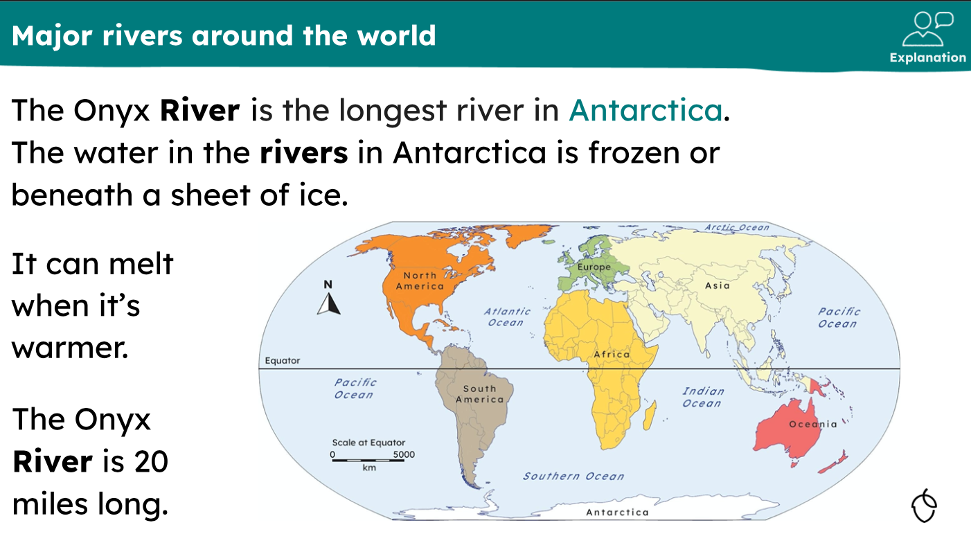
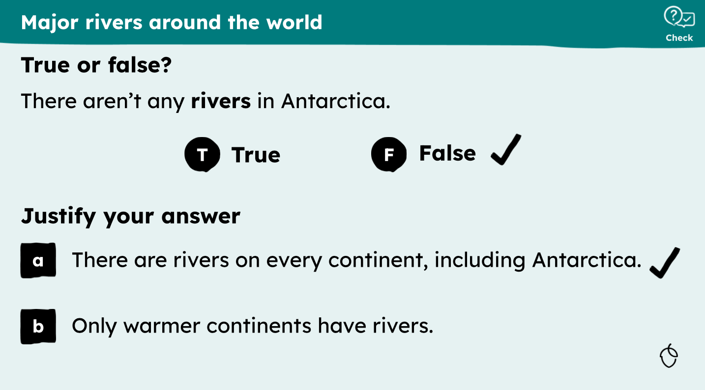
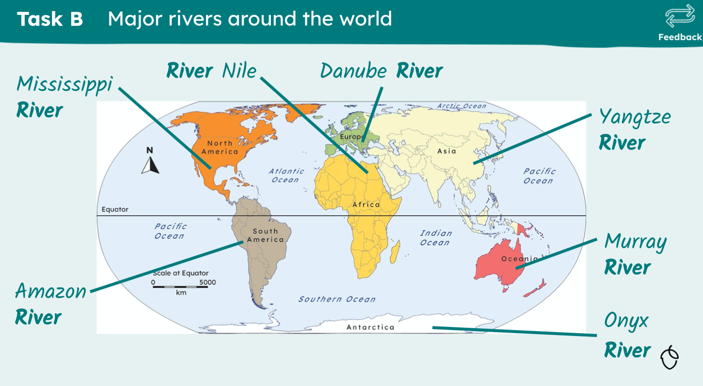
Rivers are first introduced to children in the Oak National curriculum in Year 1 Topic 3 ‘Continents and oceans: what can we find out about the world?’ Lesson 4 of this topic is titled ‘Rivers of the World’. As the title of the lesson suggests, it takes a more global approach than many of us have historically taken in our Key Stage 3 curriculums when teaching rivers.
Later in KS2 (Year 3) when children study a stand-alone rivers unit ‘Rivers: what’s special about them?’, the same approach is taken towards the end of the unit with lessons on ‘Rivers in the UK’ but also a lesson on ‘Rivers in Europe’ and another on ‘Mighty Rivers of the World’.
In the vast majority of resources I’ve seen, a ‘Rivers’ topic at Key Stage 3 (and indeed, Key Stage 4) in England means a study of UK rivers and river landscapes with little or no mention of any other rivers around the world. Now, of course, this isn’t necessarily a problem if we’ve carefully considered what we want to teach in our rivers unit and concluded that this is best achieved through a study of a UK river. Is this the case, however? Have we critically thought about what is and isn’t included in our teaching of rivers at Key Stage 3? Would our curriculums be strengthened if we broadened our study of rivers? If we have opted for a UK study, should we seek to contextualise this study by first referring to major rivers around the world? Should we take inspiration from how rivers are first introduced and taught to children in the Oak National curriculum? What advantages and disadvantages would this approach have?
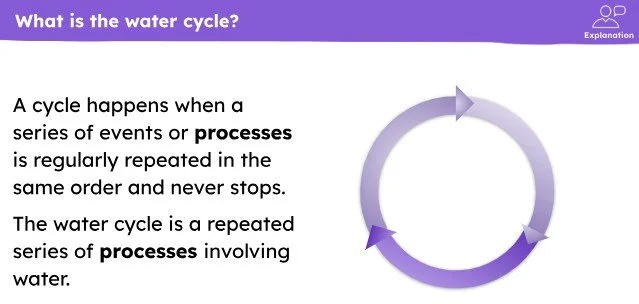
In KS2 Topic 2, pupils learn about the water cycle before Topic 3 ‘Rivers: what’s special about them?’. The water cycle forms part of our Y7 Rivers and River Landscapes topic where, in Lesson 5, we ask ‘How do rivers never run out of water?’. Looking through these KS2 resources gave me some ideas and I made the following tweaks:
Added in explicit reference to what a cycle is when introducing the water cycle to our students.
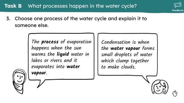
Compared our definitions and explanations of evaporation / condensation / precipitation to those given in these resources and made any necessary tweaks that would strengthen them.
Added in additional checks for understanding by blanking out the keywords in the explanations shown below to check that students know what keyword is missing.
From here, it was onto the KS2 Topic 3 ‘Rivers: what’s special about them?’. As I said above, this series of eight lessons includes two that look further afield than many of us do at KS3. Delving into the resources then, it was great to see how a unit like this at primary school would set them up to progress and develop their knowledge when studying our rivers and flooding unit in KS3. I’m confident we’ve got the level of rigour and ambition about right in the KS3 rivers unit of our curriculum but there were still some bits I could magpie from these resources.
I took the following ideas:
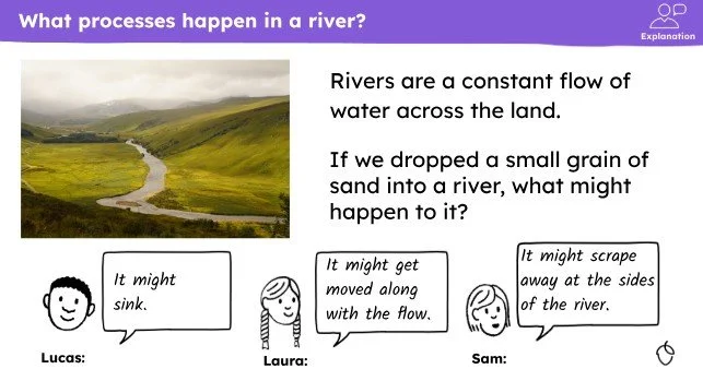
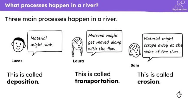
1. How to introduce the three main processes of a river.
I’m hoping that using the approach of these Oak resources will help make the abstract concepts of erosion, transportation and deposition more concrete for students. So, the ideas of these slides have been added to our lesson:
2. The Geography Visualiser maps for local area risk flood risk
Lesson 5 on ‘Flooding impacts and solutions’ is particularly excellent and I love the way it introduces students to the importance of thinking about short term vs long term in geography. We consider this elsewhere in our curriculum and choose to focus on categorising impacts as economic, social or environmental when thinking about flooding so I haven’t magpies this directly. What I did magpie was the use of the Geography Visualiser tool to look at local area flood risk.
Previously, in our on-site fieldwork investigation into the flood risk of the school site, we’d used the Environmental Agency flood risk maps. However, these are difficult to find now and don’t quite show the same information that hey used too and so I was pleased to find this alternative! Counterintuitively, the flood risk map layer is added by clicking on ‘Open map’ (rather than ‘Map layers’) and found there. Shout out to Graeme who leads Oak’s geography for helping me with this!