What if… disciplinary knowledge is hiding in plain sight?
Written November 2026
As we await the impending release of the draft new National curriculum documents, like most, I’ve been busy reflecting on my current curriculum and thinking about the tweaks, changes and refinements that might be needed when the new curriculum (finally) drops. I’ve blogged about this here and, in May 2026, felt compelled to write this plea to geographers to be mindful of our pace regarding any change that might be around the corner.
One thing I am particularly nervous about with regards to geography curriculum reform is the somewhat predictable scramble that is going to result around disciplinary knowledge. We know to expect an increased focus on embedding disciplinary knowledge throughout the curriculum and the GA has helpfully reminded us that the term ‘disciplinary knowledge’ includes key concepts, geographical practices including enquiry, spatial analysis and fieldwork and application to real-world contexts. It is the ‘how’ of the subject; it is what we teach, and the approaches we use, that help pupils to ‘think like a geographer’.
So, what do I mean by a somewhat predictable scramble? Well, I fear quickly produced and (problematic) discrete ‘Thinking Like a Geographer’ units, checklists of where students demonstrate ‘geographical thinking’ in each topic, and retrieval quizzes centred on superficial coverage and inclusion of geographical concepts... Perhaps I’ll be proved wrong (I’d love to be...) but let’s see!
In this blog, I want to suggest that, rather than falling victim to this mad scramble and assuming that we need to rip everything up and start again, instead, we look carefully at our curriculums for where opportunities to amplify disciplinary knowledge may be hiding in plain sight. How to use key concepts to underpin a curriculum, how to ensure geographical enquiry aligns with a knowledge-rich approach, and best practice for integrating fieldwork across a KS3 curriculum each warrant a blog in their own right (and are topics I love!) and so are not discussed here. Rather, I’m going to focus on a very specific element of disciplinary knowledge: the construction and debate of geographical knowledge.
How do we teach students that geographical knowledge is constructed over time? How do we ensure our KS3 students know that geographical knowledge is debated, contested and, in many of our sub-disciplines, ever-evolving? How do we ensure that our students understand that geographers sometimes disagree about how the world works or how it should be understood? After all, understanding this is central to thinking like a geographer. It is essential to questioning the landscape around us and understanding how we know what we do and don’t know.
At first glance, such questions are likely beyond the comfort zone of most of us. Many of us are far more comfortable thinking about the substantive knowledge of our curriculums (the ‘stuff’- the facts we teach, to somewhat oversimplify). It can be easy to think of disciplinary knowledge, and particularly the teaching of the construction of geographical knowledge, as too complicated and too challenging for many contexts. But, what if we’ve just over-complicated it? What if we need to look for opportunities to amplify what’s already there, rather than add more in? What if we tweak our mindset to consider where disciplinary knowledge can complement our existing substantive knowledge and consider how we can naturally teach the two in tandem? Perhaps, as a result, the whole thing will become less daunting? After all, through making the connection between disciplinary and substantive knowledge, I’d argue that we will achieve greater depth and coherence to our schemes of work and help ensure that pupils’ geographical understanding progresses over time.
So, to use the language from the title of this blog: where might the opportunities to embed more disciplinary knowledge be hiding in plain sight? Where might you already be halfway there and, with some minor tweaks, be able to make a significant difference to your students’ understanding of what it means to be a geographer, to ‘do’ geography and to ‘think like a geographer’?
Before sharing some examples of what it looks like for us, consider the following questions:
1. Which theories do you teach in Key Stage 3 geography and why?
2. When you teach a theory, do you treat it purely as substantive knowledge (e.g teaching the what or the facts of the theory) or do you use it as an opportunity to teach the disciplinary knowledge of geography (e.g. teaching how and why we use theories in geography)?
3. Where and what do you explicitly teach about evidence in geography? Do you present evidence as a list of substantive knowledge to learn (e.g. here are the 6 pieces of evidence for X) or do you use it as an opportunity to teach how knowledge is constructed in geography?
4. Where and what do you explicitly teach about the tools we use (and have used in the past) to gain this evidence?
Below I share some examples of where, in the third curriculum that I’ve led in my career so far, I’ve sought to ensure that we make the connection between disciplinary and substantive knowledge by slowing down and taking the time to give disciplinary knowledge the space it requires alongside the substantive knowledge. It’s worth saying that these examples are in addition to using key concepts and enquiry questions to underpin our curriculum and ensuring that we have a fieldwork enquiry or DME in each year group of KS3- other critical elements of embedding disciplinary knowledge throughout a KS3 curriculum.
It is also worth saying that none of these examples are new or revolutionary to include in our teaching. As you’ve read above, that’s not the point of this blog: I’m arguing that we don’t need to seek jazzy new ways to teach disciplinary knowledge but rather, look to where we’ve perhaps rushed over it in the past and can slow down to give it the time it deserves and thus ‘do it properly’. As you’ll have guessed, I like to use the phrase ‘amplifying the disciplinary knowledge’ to describe this thinking and work.
Each of these examples is taken from our Year 7 Curriculum with a short explanation given below.
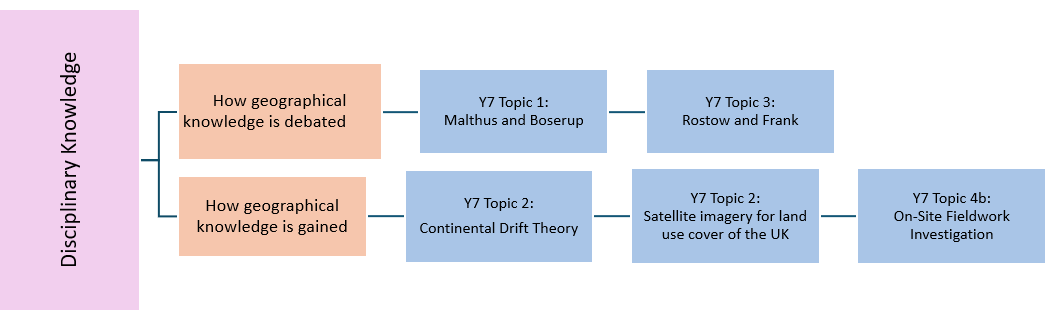
Teaching Malthus and Boserup in Year 7 Topic 1: Population Dynamics
Big question: How and why do populations change?
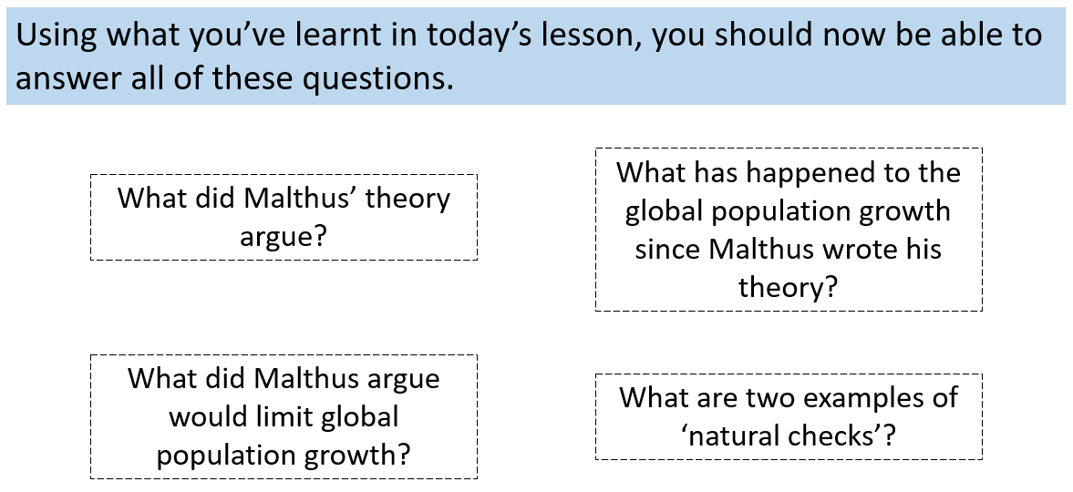
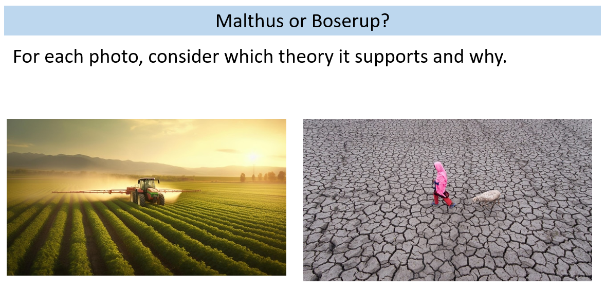
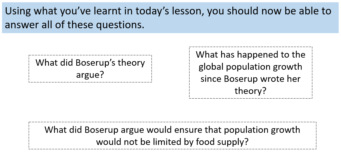
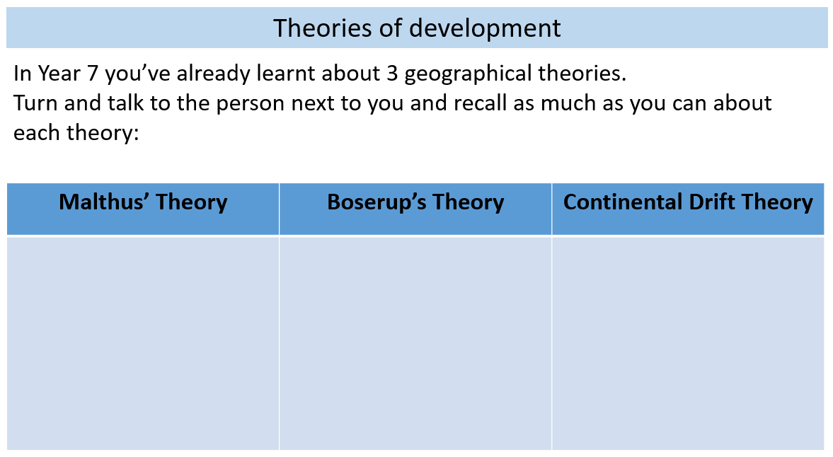
In our first topic of Year 7, students study the population theories of Malthus and Boserup- this topic is explained in detail here. The rationale here is quite simple: ensure that students are taught that geographical knowledge is debated very early on in their study of KS3 geography. We teach students the two different opinions and theories of population growth and take the time to debate them: what knowledge did this person have about population growth and how did this inform their theory? What evidence is there for and against these theories? Which is likely to hold true in the 21st century?
Teaching Continental Drift theory in Year 7 Topic 2: Our Home the UK
Big question: How and why have human and physical processes shaped the UK?
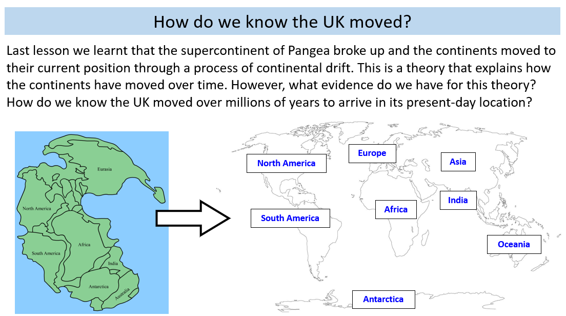
In this topic, students learn about a range of different human and physical processes that have shaped the UK. Students are introduced to Pangea and continental drift theory but, at this stage, we do not study tectonics in depth as this is done in Year 8 (blogged about here). Continental drift theory is studied to introduce students to the concept of geological time and give them a sense of the (vast) time scales over which physical processes have shaped the UK- in contrast to, for example, the human process of deforestation (studied later in the topic).
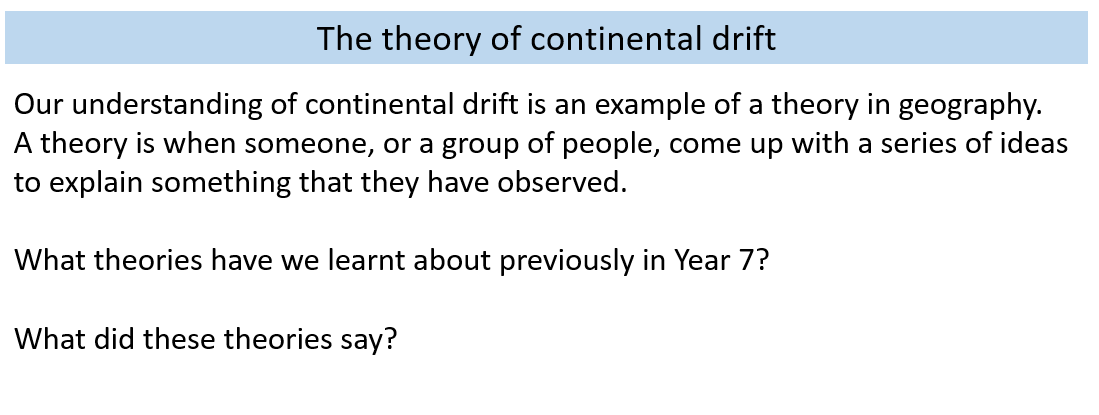
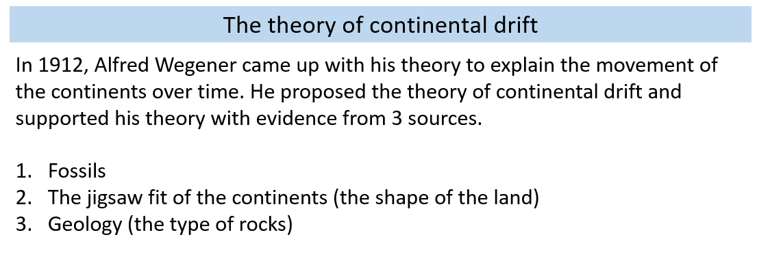
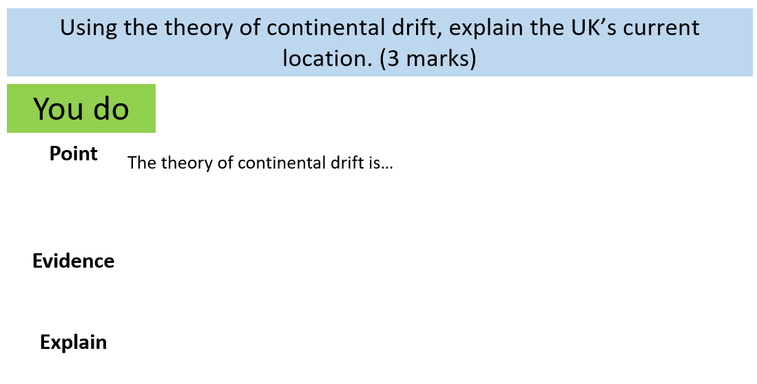
In contrast to the example of Malthus and Boserup above, the rationale here is not to show how geographical knowledge is debated but rather to teach explicitly, for the first time, how geographical knowledge is gained through the accumulation and interpretation of evidence. In order to do so, I’d argue that it is critical to take the time to teach what we mean by a theory and what we use to support theories (e.g. evidence). So, as well as the theory, we also teach about the evidence for continental drift theory. What supports this current geographical knowledge? How do we know that this occurred? How does each piece of evidence support this geographical knowledge and why?
Again, nothing new but elements that we may have rushed over in the past and therefore a missed opportunity to amplify disciplinary knowledge.
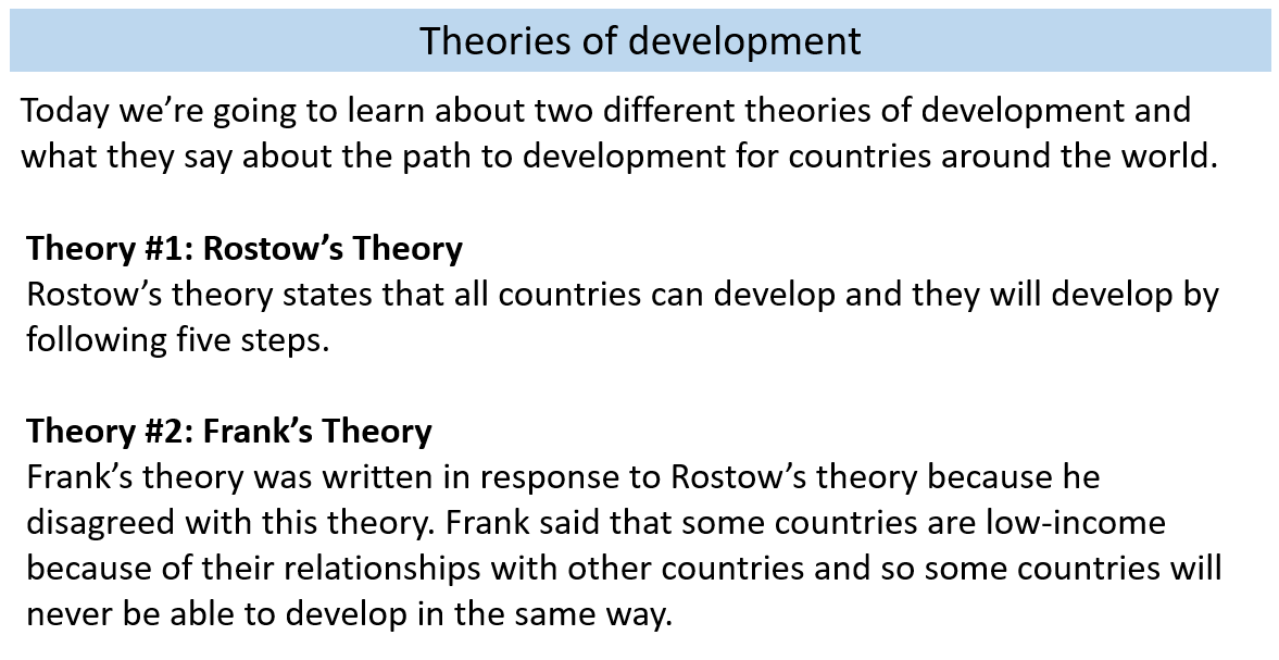
Teaching Rostow and Frank in Year 7 Topic 3: Development Dynamics
Big question: Why are some countries more developed than others?
In this final example of teaching a theory in Year 7, students are exposed to another example of where different geographers had different opinions on the processes and reality of the world around them. We start by asking students to recall the theories they’ve already learnt about in Year 7 before explaining the two new theories they will learn about here.
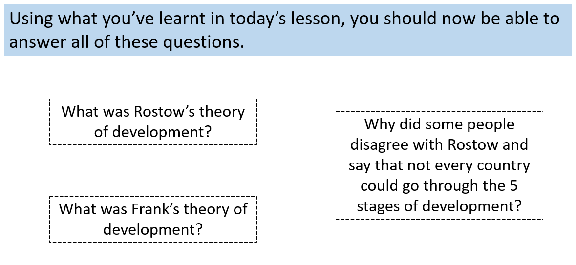
In this lesson, there are many similarities to the teaching of Malthus and Boserup- and purposefully so. Again, it is about teaching students how geographical knowledge is debated. What knowledge did this person have about varying levels of development around the world and how did this inform their theory? What evidence is there for and against these theories? Which is likely to hold true in the 21st century?
Teaching how satellite imagery is used for land cover in the UK in Y7 Topic 2: Our Home the UK
Big question: How and why have human and physical processes shaped the UK?
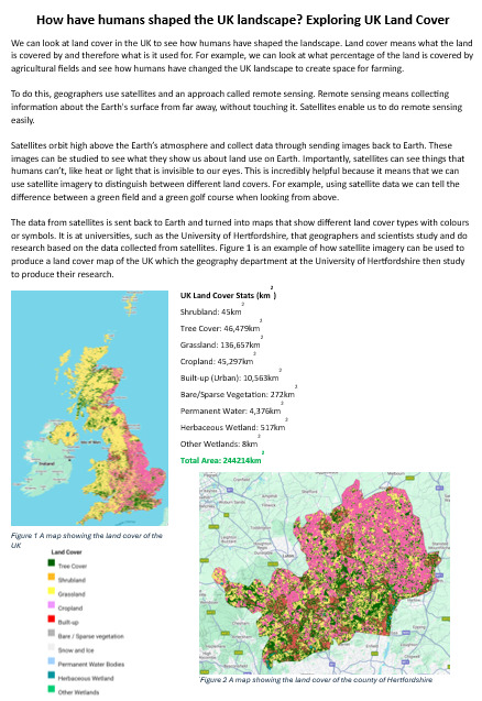
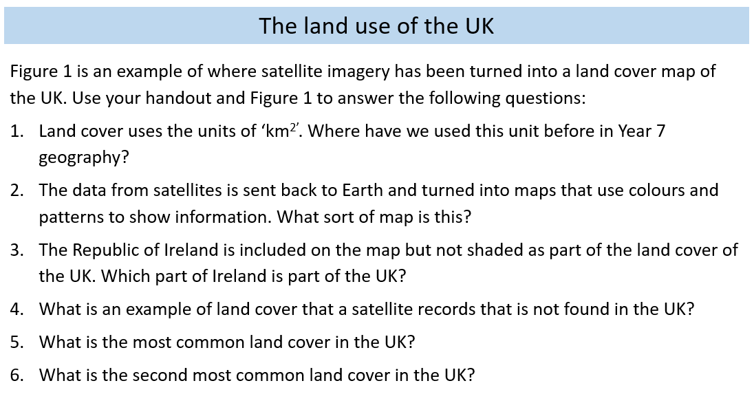
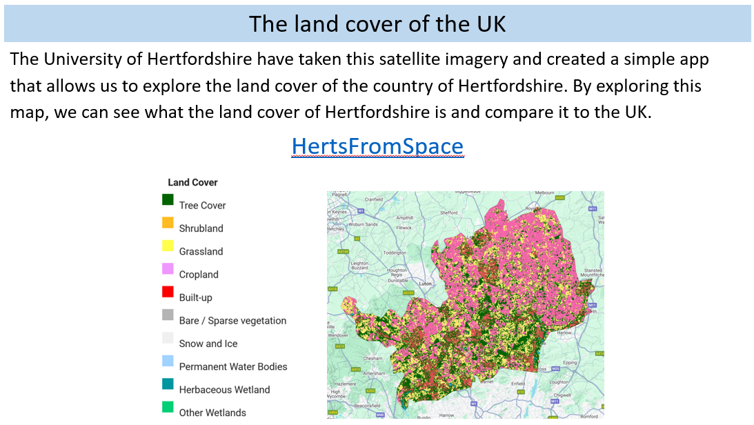
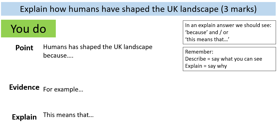
Having studied key physical processes that have shaped the UK landscape, students study how humans have shaped the UK landscape through deforestation, agriculture and settlement. As well as learning about the significance of each of these processes, we take the time to ensure this is another opportunity to teach how geographical knowledge is gained- in this context, through the use of satellite imagery to look at land use in the UK.
We teach students how we know about the land cover of the UK through remote sensing. A simple app from the University of Hertfordshire is used to explore the land use of the UK (considering Hertfordshire in particular) and, alongside, students are taught about how satellites are used to build this understanding of the world around us.
At the risk of now sounding like a broken record, there is nothing new in this idea to teach about remote sensing. Rather, it is an example of where, in the past, I might have skipped over this as a key example of how geographical knowledge is gained and focused instead on the substantive knowledge.
Hopefully, what these examples and blog has done is convince you that, perhaps, there are many examples of where disciplinary knowledge is hiding in plain sight in your curriculum? It may well be that, rather than adding in more disciplinary knowledge to your geography curriculum, you need to recognise, develop and give greater prominence to the disciplinary knowledge that is already here.